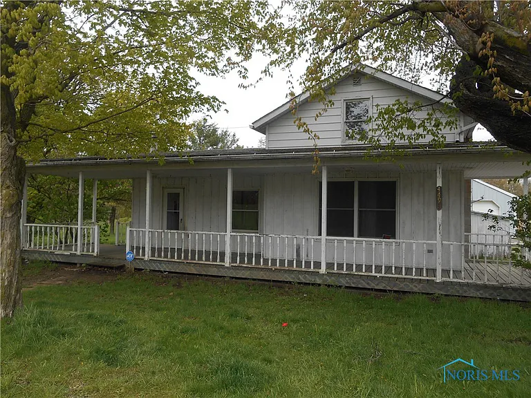
Property Details
Legal Description
Situated as being part of the Northwest Quarter of Section 24, Township 5 North, Range 1 East, Milford Township, Defiance County, Ohio, also being all of a 10 acre tract of land as recorded in Official Record Volume 397, Page 1680 and more particularly described as follows: Beginning a Mag nail set marking the Southwest corner of the Northwest Quarter of Section 24 and the POINT OF BEGINNING; Thence North 01°02'48" East along the West line of the Northwest Quarter of Section 24 (Cicero Road) a distance of 177.74 feet to a Mag nail set on the centerline of a ditch; Thence along the centerline of said ditch and the perimeter of a 1.172 acre tract of land as recorded in Official Record Volume 344, Page 2267 of the Defiance County Deed Records the following twelve (12) courses: South 87°48'22" East a distance of 25.25 feet to a point; North 66°23'14" East a distance of 99.62 feet to a point; North 47°58'23" East a distance of 53.03 feet to a point; North 63°27'19" East a distance of 25.60 feet to a point; North 79°36'10" East a distance of 53.76 feet to a point; South 85°49'10" East a distance of 36.21 feet to a point; North 78°08'08" East a distance of 17.12 feet to a point; North 53°05'17" East a distance of 8.79 feet to a point; North 00°00'00" East a distance of 12.32 feet to a point; North 24°31 '2l" East a distance of 21.30 feet to a point; North 59°55'05" East a distance of 19.31 feet to a point; North 17°24'35" East a distance of 73.31 feet to a point on the South line of a 20 acre tract of land as recorded in Official Record Volume 407, Page 876 of the Defiance County Deed Records; Thence South 89°18'55" East along said South line a distance of 988.68 feet to a 5/8 inch rebar with ID cap set on the East line of the West Half of the Northwest Quarter of Section 24 and passing a 5/8 inch rebar with ID cap set at 19.36 feet; Thence South 01°01'37" West along said East line and the West line of a 45 acre tract of land as recorded in Official Record Volume 374, Page 2992 (Tract 3) of the Defiance County Deed Records a distance of 394.85 feet to a 5/8 inch rebar with ID cap found marking the Southeast corner of the West Half of the Northwest Quarter of Section 24; Thence North 89°18'55" West along the South line of the West Half of the Northwest Quarter of Section 24 and the North line of a 80 acre tract of land as recorded in Official Record Volume 377, Page 228 (Tract 1) of the Defiance County Deed Records a distance of 1,323.94 feet to the POINT OF BEGINNING, passing a 5/8 inch rebar with ID cap set at 1,293.94 feet, said tract containing 10.877 acres of land, more or less.
Location
Foreclosure Details
Conditions of Sale
Auction By

